Mapping the seabed along the shores from Vaasa to Tornio and back
Actors and conditions
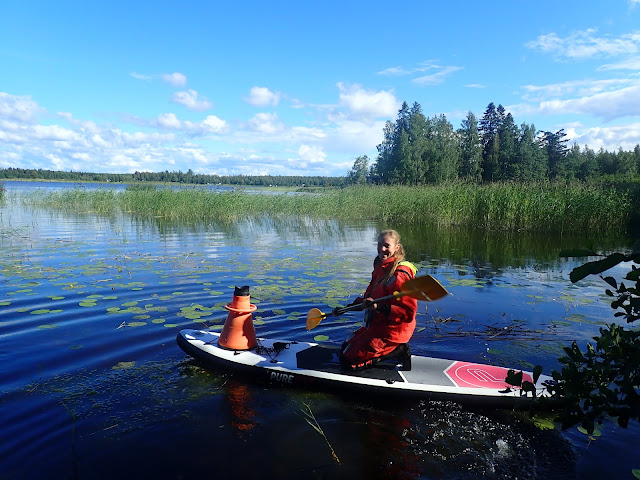
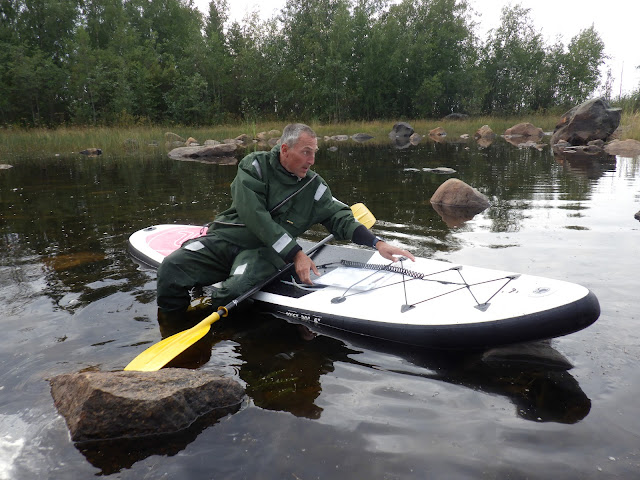 |
| The author mounting a stand-up paddle board (SUP), our main transport device on the site. Photo: Saara Luukkonen / Metsähallitus |
The core team:
 |
| The Team (from left to right): Saara Luukkonen, Erika von Essen, Essi Keskinen, and Rupert Simon. Photo: Essi Keskinen / Metsähallitus |
We had an ambitious plan; hence we were
working in (almost) any weather.
 |
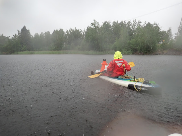
Example for weather: Rain dance (Nimbus aquaticus). Photo: Rupert Simon / Metsähallitus |
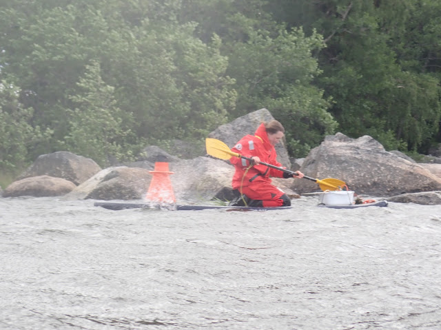
 |
A modern survival suit protects Essi from the conditions. Photo: Rupert Simon / Metsähallitus |
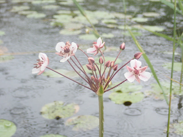 |
Butomus umbellatus needs no suit. It apparently likes water coming from all sides. Photo: Rupert Simon / Metsähallitus |
 |
| Also, Nuphar lutea, the yellow waterlily, flourishes in wetlands. Photo: Rupert Simon / Metsähallitus |
 |
| Nymphea alba, the white waterlily is even more commonly encountered. Photo: Rupert Simon / Metsähallitus |
 |
| Elin Vide joined the team for a couple of days as interim. Here, she is struggling with the elements. Photo: Rupert Simon / Metsähallitus |
 |
| On a calmer day, Saara uses the time on the boat for transferring data into the electronic system. Photo: Rupert Simon / Metsähallitus |
 |
| Erika on a lucky day with sunshine. Photo: Rupert Simon / Metsähallitus |
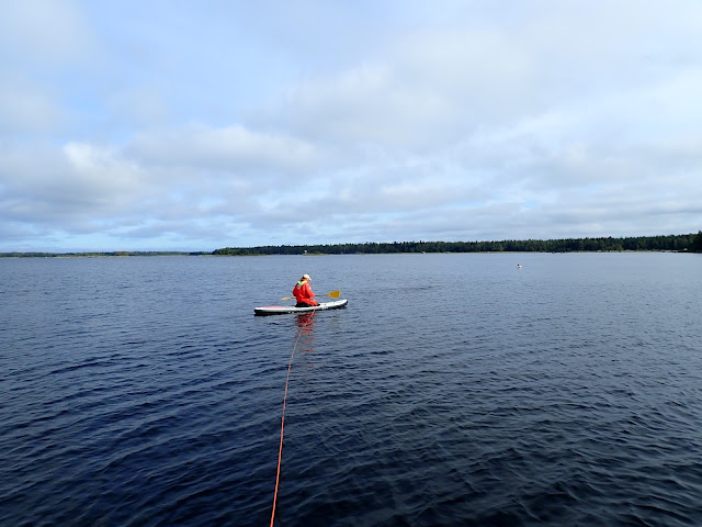
 |
Saara faces the stormclouds. Photo: Rupert Simon / Metsähallitus |
In deeper waters, we needed to deploy divers. Occasionally, the vegetation was so dense that the line and diver got entangled.
 |
Erika sorts out the line from the surface. Photo: Rupert Simon / Metsähallitus |
 |
| Essi is back - full of unintended samples. Photo: Rupert Simon / Metsähallitus |
Chronology of events
Week 1+2 at Merenkurkku (The Quark)
On Monday, 3rd July, I started
off for my first field assignment in Ostrobothnia. The water of the northern
parts of Gulf of Bothnia has with 2-4% w/w the lowest salt content of the
Baltic Sea. Target areas were small lagoons - called “flada”. These
fladas are partly closed and have a restricted exchange of water with the main
water body. This restriction results in an even more reduced content of salt in
the lagoon than in the Bothnian Bay itself.
 |
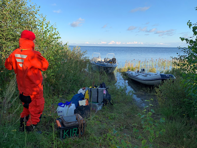
| A small transporter (nickname “Paku”) is carrying our equipment and ourselves. Erika introduces me to the work. Photo: Rupert Simon / Metsähallitus |
 |
| Being in the wild: The first flada “Bulten”. Photo: Rupert Simon / Metsähallitus |
 |
| A dragon fly waiting for the rain to end. According to the app Seek: Aeshna grandis. Photo: Rupert Simon / Metsähallitus |
We had our basecamp at the old military
base in Sommarö on Replot. The area is now managed by Metsähallitus and can be
visited. Veterans have arranged for the installation of a memorial.
 |
| The memorial is representing the ugly side of Homo sapiens. Photo: Rupert Simon / Metsähallitus |
 |
| Family of Anas platyrhynchos. Photo: Rupert Simon / Metsähallitus |
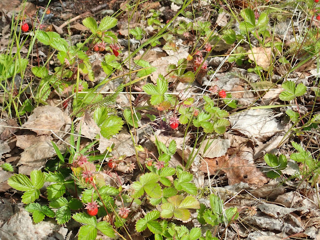 |
| Mansikka or Fragaria vesca (according to Seek). Photo: Rupert Simon / Metsähallitus |
Usual suspects
In the field, we find certain species again
and again. Here comes a photographic list of usual suspects. The first one in
the row belongs to the green algae.
 |
| A close-up of Chara aspera. Photo: Rupert Simon / Metsähallitus |
 |
Sunlight pattern on a soft bottom with Chara aspera. Photo: Rupert Simon / Metsähallitus
|
 |
| A bush of Chara aspera between large stones. The plants are covered by sediment, legacy of a windy time. Looking closely, we can identify the characteristic small red or orange gametes. Photo: Rupert Simon / Metsähallitus |
Light plays with the undulated water surface and creates these magical views of the underwater landscapes. Here now clearly visible the red heads of Chara tomentosa between other aquatic species.
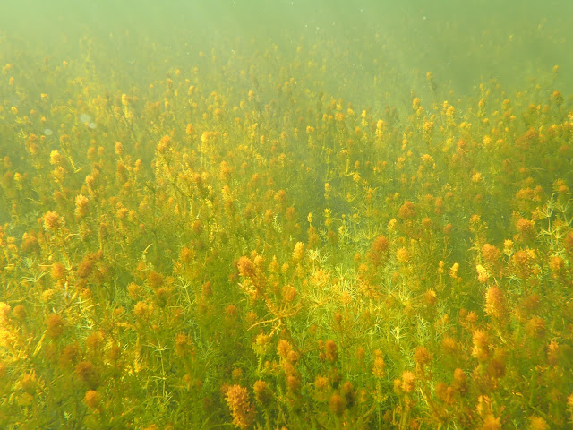 |
| Sunlight pattern on a field dominated by another common algae, the red headed Chara tomentosa. Photo: Rupert Simon / Metsähallitus |
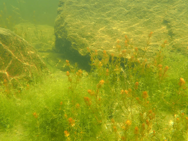 |
| A closer look to the assemblage. Chara tomentosa in scattered company of another Chara spp. Photo: Rupert Simon / Metsähallitus |
 |
| While the larger Chara tomentosa is still clearly visible, this spot seems rather dominated by Chara aspera. Photo: Rupert Simon / Metsähallitus |
 |
| Perches (Perca fluviatilis) patrolling the area. What is this big thing there with the camera? Photo: Rupert Simon / Metsähallitus |
To make the life more complicated, there
are things growing on the plants (epiphytic) and rocks (epilithic). This time,
we focus on the animals:
 |
| Freshwater polyps (Hydra vulgaris) on ahvenvita (Potamogeton perfoliatus). Photo: Rupert Simon / Metsähallitus |
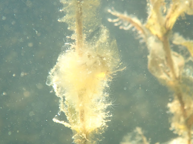 |
Close-up on freshwater polyps (Hydra vulgaris) on ahvenvita (Potamogeton perfoliatus). Photo: Rupert Simon / Metsähallitus
|
 |
| Freshwater polyp Hydra vulgaris colony on a rock (epilithic). Photo: Rupert Simon / Metsähallitus |
With the next species on the list, we move
from algae to vascular plants. Vascular plants possess in contrast to algae - and
as indicated by the name - a system of tubes including roots for the transport
of nutrients and products throughout the organism.
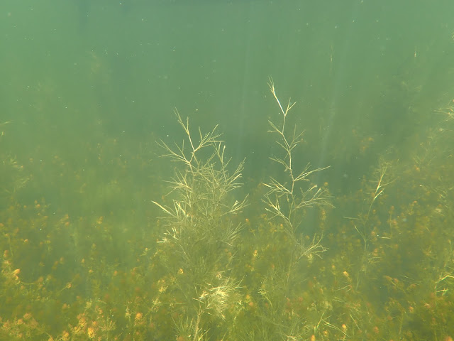 |
| Outcompeting the Chara spp by size: Stuckenia pectinata. Photo: Rupert Simon / Metsähallitus |
 |
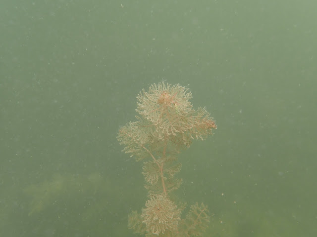
| Stuckenia pectinata growing a flower pod covered with some epiphytic algae. Photo: Rupert Simon / Metsähallitus |
 |
| Close-up of the flower (Stuckenia pectinata). Photo: Rupert Simon / Metsähallitus |
Another very common species belongs to the emerging
plants.
 |
| Phragmites australis, is a cosmopolitan. The very sturdy common reed has been used by humans in building roof tops. Photo: Rupert Simon / Metsähallitus |
 |
| The flower of Phragmites australis resembles a paint brush or a bird’s plume feather. We deal with a wetland grass. Photo: Rupert Simon / Metsähallitus |
 |
| When looking at a dense patch of Phragmites australis, it seems to be very dense. The underwater picture reveals the spacing between the stems forming an underwater forest. This is a place for juvenile fish, here a school of Perca fluviatilis, to grow up to maturity. Fishermen know that pike (Esox lucius) is preying on them here, hence it’s a good place for fishing. Photo: Rupert Simon / Metsähallitus |
Being the longest bridge of Finland, the
Replot bridge is by itself already a tourist attraction. This is boosted by the
info centre at the west end telling the story of the land rise and the UNESCO
heritage site.
Week 3 + 4 at Merenkurkku (The Quark)
New week, new team member, new luck. Elin
is joining as interim for a couple of days and more species emerge to join the
list of usual suspects.
 |
| Erika and Elin discussing the course of action for this site. Photo: Rupert Simon / Metsähallitus |
 |
| Potamogeton perfoliatus is one of the most common and most easily visible plants in the Finnish waters. The specimens look healthy and carry picturesque flower buds. Photo: Rupert Simon / Metsähallitus |
The genus Potamogeton has obviously more members than just one.
 |
| Potamogedon crispus is resembling P. perfoliatus but distinguishes itself by undulated leaves. It was found less frequently these days. Still, we got this picture underwater. Photo: Rupert Simon / Metsähallitus |
 |
| Here the same P. crispus from the surface. The undulated leaves are visible on the left while the flower buds are to the right. Photo: Rupert Simon / Metsähallitus |
Another genus is Myriophyllum. These water
milfoil are alike the common reed cosmopolitans with wide distribution.
 |
| Myriophyllum sibiricum as seen from the boat and picture taken under the surface. Photo: Rupert Simon / Metsähallitus |
 |
| The same species Myriophyllum sibiricum under water carrying some sedimentation in a close-up picture. Photo: Rupert Simon / Metsähallitus |
 |
| Myriophyllum sibiricum with flower buds. Photo: Rupert Simon / Metsähallitus |
Week 5
After mapping the Quark, we moved north to
Tornio.
 |
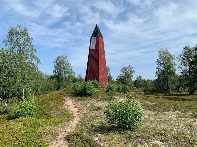
| Perämeren Kansallispuisto from the watch tower. Our boat Maia lies behind the vessel used by the Sea Rescue Club “Meripelastajat”. Photo: Rupert Simon / Metsähallitus |
 |
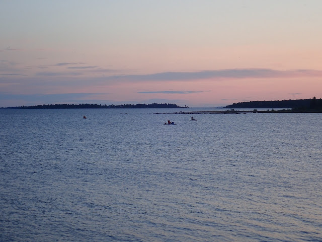
| Sunset in the north taken at 21:48. Photo: Rupert Simon / Metsähallitus |
 |
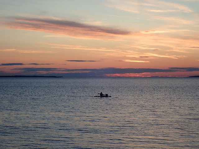
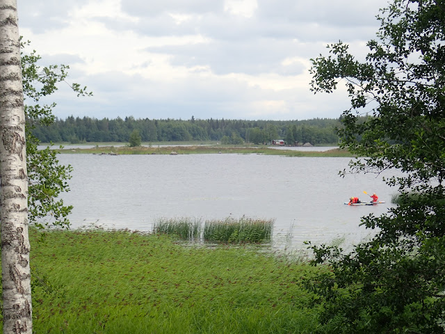
| As the weather conditions were so favourable, and you never know, when this is going to change, we (or rather the girls) decided to still go for a flada during sunset. Photo: Rupert Simon / Metsähallitus |
 |
| The last musketeer is coming back. Photo: Rupert Simon / Metsähallitus |
 |
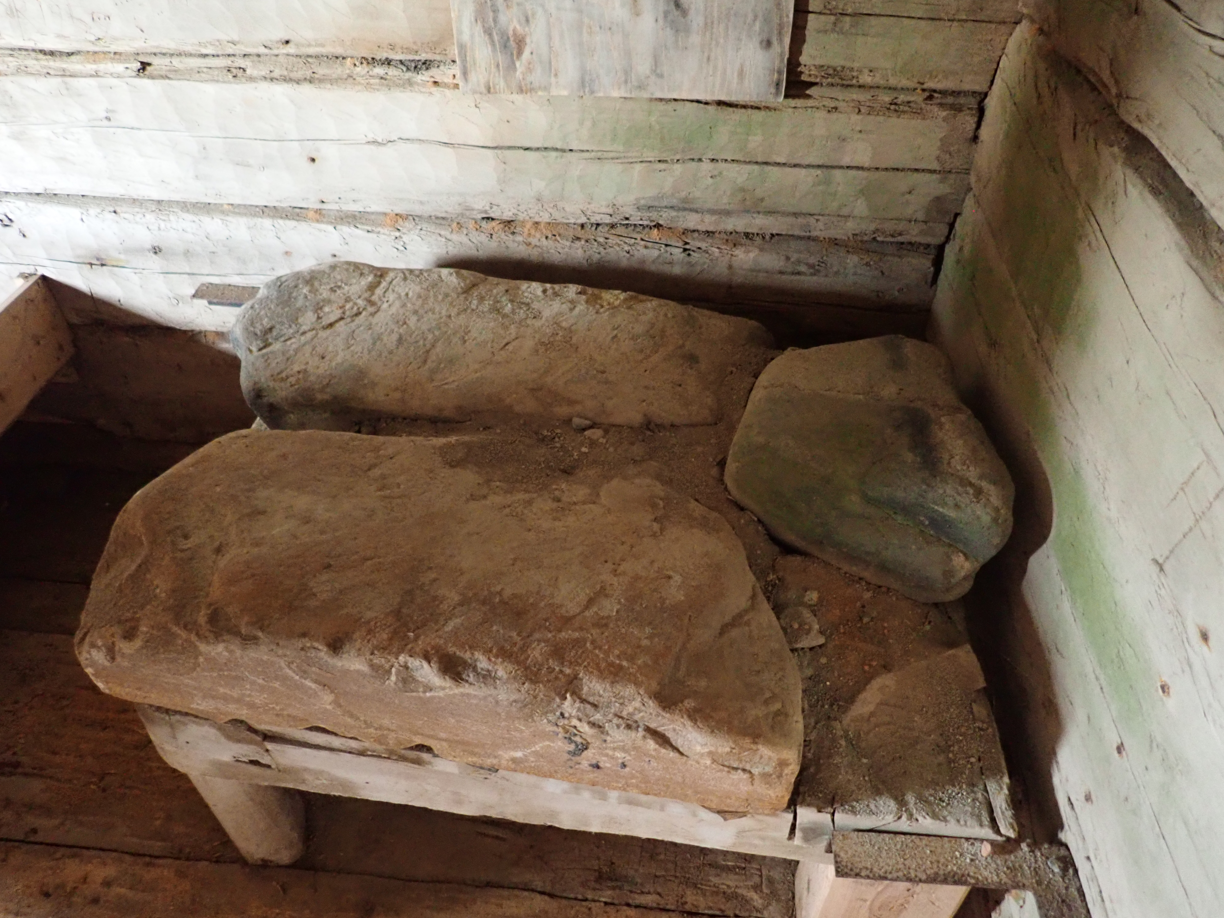
| The weather was not so friendly in the next morning. As we anyway had to wait for the wind to calm down, we visited the south end of the island. Left over are historical stone walls used by fishermen as home during their stay. They would close the shelter on top using a sail. Photo: Rupert Simon / Metsähallitus |
 |
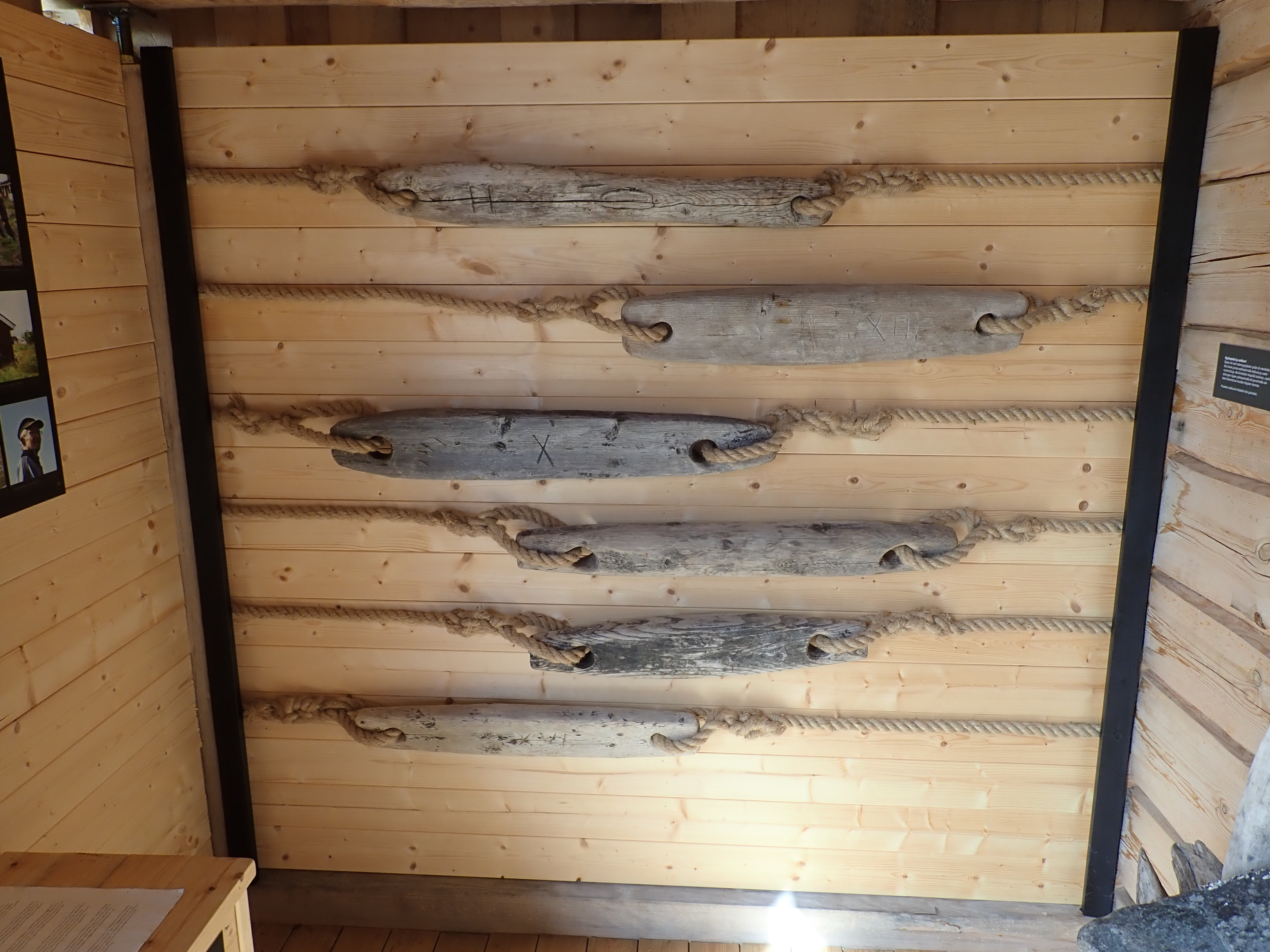
| A small hut from a later era serves now as a small exhibition place of donated items. Photo: Rupert Simon / Metsähallitus |
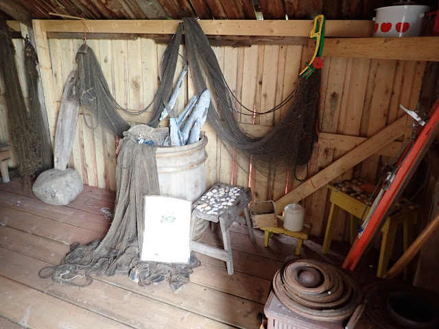 |
| Collected items on display show fishing gear and more stuff used in daily life. Photo: Rupert Simon / Metsähallitus |
 |
Large rocks formed the foundation for a fireplace. Photo: Rupert Simon / Metsähallitus |
To do something useful, we were investigating the beach under the wavelets.
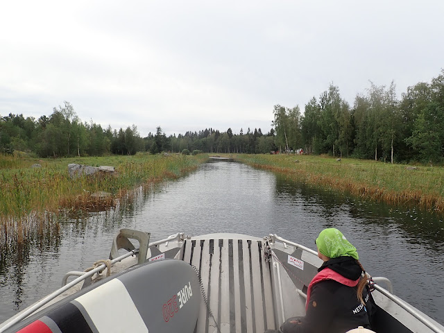
The time in Tornio is up and we are moving
to Ii.
 |
| Rupert at the helm of the boat. Photo: Erika von Essen / Metsähallitus |
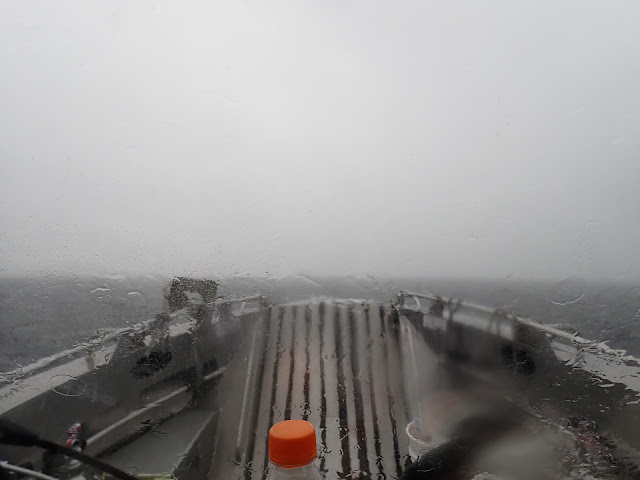 |
| Looking out from the helm. In perhaps 50m visibility we are relying on our instruments. Photo: Rupert Simon / Metsähallitus |
 |
| The sky after the rain on the way to Oulu for the weekend. Photo: Rupert Simon / Metsähallitus |
Weekend
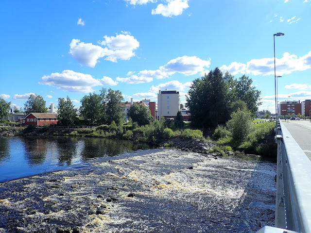
Oulu. Town and river. One of the four
largest towns at this northern latitude.
 |
| The Oulu River dam. When installed, it cut off the salmon migration into the Oulu River. Photo: Rupert Simon / Metsähallitus |
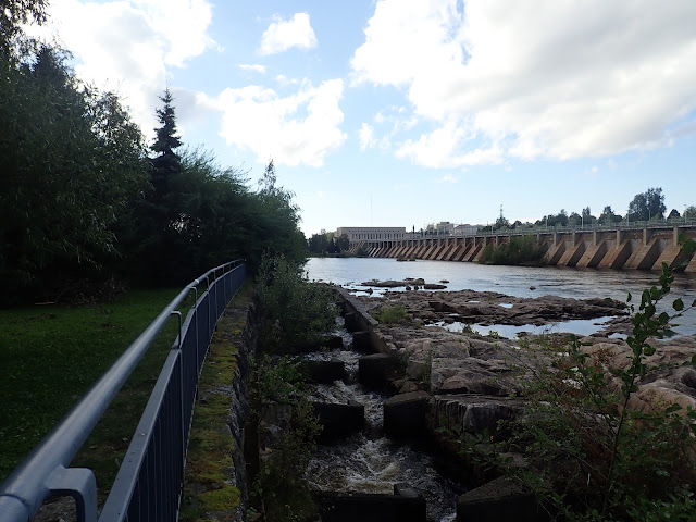 |
| The Oulu River dam and a fish ladder in the foreground on the left. The operator of the dam, Oulun Energia, stated in a recent brochure I found at their website that there was video evidence from 2019 for perch, bream, roach, pike, whitefish, trout, and salmon travelling up this bypass. Photo: Rupert Simon / Metsähallitus |
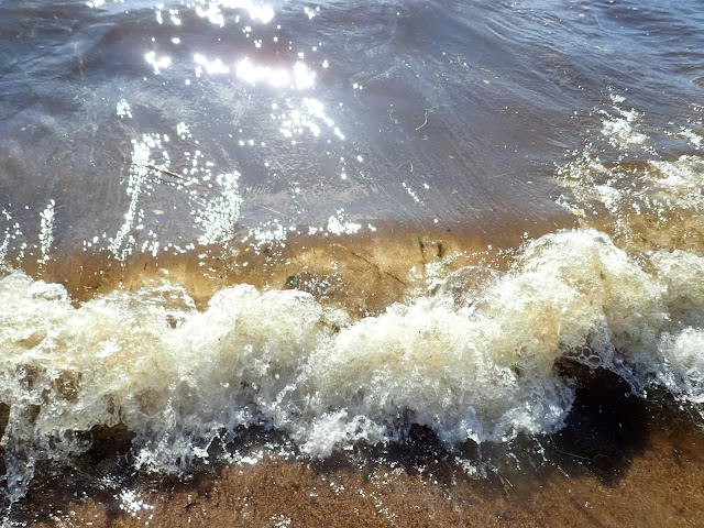 |
| The sea is giving away what is growing underneath her waves. Photo: Rupert Simon / Metsähallitus |
 |
| Et voila: Potamogeton perfoliatus - one of the usual suspects - shows up. Photo: Rupert Simon / Metsähallitus |
Week 6
Week 6, we spend on Ulkokrunni at the Oulu
University’s research station. Unfortunately, I left my camera in the car at
the mainland, so I have only images I took with my phone.
 |
| Historical landmark for seafaring called Pooki. This one dates to 1841. Photo: Rupert Simon / Metsähallitus |
 |
| Living on an island without running water and limited access to electricity, the sauna visit became part of our daily ritual. Photo: Rupert Simon / Metsähallitus |
 |
| Filling SCUBA tanks after a diving day may happen in a romantic scenery. Photo: Rupert Simon / Metsähallitus |
 |
| Packing the boat for moving to the shore of Ii. Then after repacking followed the transfer of equipment to our next station in Raahe. |
Week 7
You cannot be in Raahe without seeing the
oldest still existing diving suit of the world. I was so impressed that I
forgot to take a picture. On the other hand, there are many taken already.
So, I give you a link to the website of the museum: https://raahenmuseo.fi/tietoa-museoista/wanha-herra.
Look and see!
In Raahe, we stayed in the cottage of
Meripelastajat and placed Maia next to Mursu IV, the boat of the diving club,
properly named “Mursut”. The time at Raahe starts with windy weather.
 |
| The first place offered wavy condition for doing the transect. Photo: Rupert Simon / Metsähallitus |
 |
| If you don’t like the weather, just wait a bit. Hence, we found more friendly conditions at the second place. Photo: Rupert Simon / Metsähallitus |
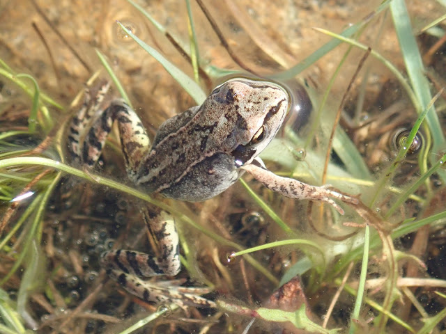 |
| This is my realm (Rana temporalis). Photo: Rupert Simon / Metsähallitus |
 |
| The softstem bulrush (Schoenoplectus tabernaemontani) grouping behind a patch of common reed (Phragmites australis) in the foreground. Saara and Erika recording the vegetation along a transect. Photo: Rupert Simon / Metsähallitus |
 |
| A bunch of Schoenoplectus tabernaemontani comes in the way of the board and stars in a close-up picture. Photo: Rupert Simon / Metsähallitus |
Weekend
Moving south to Kalajoki (also town and
river).
 |
| Kalajoki rapids. Photo: Rupert Simon / Metsähallitus |
 |
| Kalajoki rapids and flower mill (red building in the back). The proportion of water used for machinery contrasts the situation in Oulu. Photo: Rupert Simon / Metsähallitus |
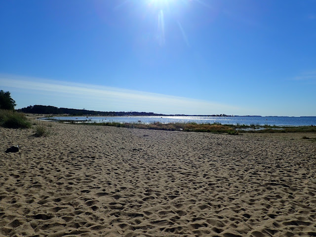 |
| The sandy beaches of Kalajoki are unique. They are known as “Hiekkasärkät”. Photo: Rupert Simon / Metsähallitus |
 |
| A sample from the swimming beach. This looks like Chara aspera. |
 |
| At the rhizoids (the part growing in the sediment like roots), round, white bulbils are found. These are considered typical for Chara aspera. |
The island had up to 400 inhabitants and
needed pastoral supervision. The island has until today its own local
government and is ruled by the people.
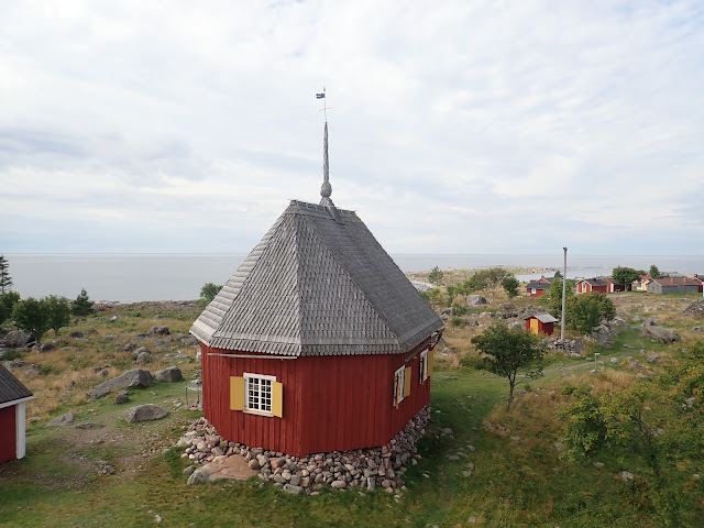 |
| The church of Maakalla. Photo: Rupert Simon / Metsähallitus |
 |
| The church inside. The place got crowded when 400 souls were attending the service. Photo: Rupert Simon / Metsähallitus |
 |
| View from the crossroad in the centre shows the size of the seemingly small building. Photo: Rupert Simon / Metsähallitus |
 |
| Closing after the visit is good practice of curtesy. Photo: Rupert Simon / Metsähallitus |
The audit of our diving procedure.
 |
| Here come the auditors for a visit. Photo: Rupert Simon / Metsähallitus |
 |
| The audience is keen to learn everything about diving, the procedures, and the safety equipment. Photo: Rupert Simon / Metsähallitus |
Weekend
Week 9
Kokkola was the challenge for navigation.
The waters around the archipelago are shallow and seasoned well with rocks.
 |
| Shallow waters with an emerging island surrounded by rocks. Photo: Rupert Simon / Metsähallitus |
 |
| Typical environment for boating. Official minimum depth in such boat lanes was 1.2m. I read at some point only 0.9m on the echosounder’s display. We were occasionally holding our breath when travelling through these waters. Photo: Rupert Simon / Metsähallitus |
Week 10
This week was used for cleaning and storing
the gear, updating records, and writing reports, such as this blog.
Week 11 + 12
Well-deserved HOLIDAYS
 |
| Sailing during sunset. Photo: Rupert Simon / Metsähallitus |
List of species encountered (not exhaustive)
Plants
Butomus umbellatus
Chara aspera
Chara tomentosa
Phragmites australis
Schoenoplectus lacustris
Schoenoplectus tabernaemontani
Zannichellia palustris
Lemna trisulca
Lysimachia thyrsiflora
(semi-terrestrial)
Myriophyllum sibiricum
Myriophyllum spicatum
Najas marina
Nuphar lutea
Nymphaea alba
Potamogeton crispus
Potamogeton perfoliatus
Stuckenia pectinata
Animals
Anas platyrhynchos
Chroicocephalus
ridibundus
Culex pipiens
Haemopis sanguisuga
Haliaeetus albicilla
Pentatoma rufipes
Vespula germanica
Mushrooms
Boletus edulis